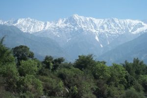
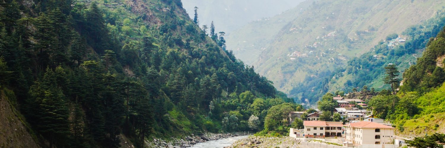
The Siachen Glacier is often referred to as the highest battleground on earth, where India and Pakistan have fought intermittently since 1984. The two neighbouring countries maintain a permanent military presence in the region at a height of over 6,000 metres (20,000 ft).
While yes, Siachen Glacier is strategically important due to its location in the disputed area between India and Pakistan, it is also a significant ecological and geological site.
Siachen is the longest glacier in the Karakoram Range and one of the largest outside the polar regions, measuring approximately 76 kilometres (47 miles). The Karakoram is the second-highest mountain range on Earth and part of a complex of ranges that includes the Pamir Mountains, Hindu Kush, and Himalayas.
The region is home to some of the largest and most iconic glaciers that play a critical role in the hydrology of the region, feeding numerous rivers that sustain millions of people across South Asia.
One among them is Siachen, Gangotri Glacier in Uttarakhand is another important glacier feeding the waters of the Ganges River, one of most important and sacred rivers in India. Biafo Glacier is one of the longest glaciers outside the polar regions and contributes to the Indus River system.
The Khumbu Glacier in Nepal is one of the most famous glaciers in the world due to its proximity to Mount Everest which provides a water source for local communities and feeds into the Dudh Koshi River.

However, glaciers in the entire region including the Himalayas have been retreating at an alarming rate over the past several decades. This trend is primarily attributed to climate change, with rising temperatures causing the glaciers to lose mass more quickly than they accumulate snow.
Kedarnath Glacier Tragedy
In June 2013, in the Kedarnath region of Uttarakhand, heavy rainfall triggered one of the worst natural disasters in the region’s history.
Like many others in the Himalayas, the Kedarnath Glacier had a glacial lake (an accumulation of meltwater). The intense rainfall caused the lake to overflow or breach its natural barriers, leading to the sudden release of massive amounts of water. The unstable mountainous terrain triggered numerous landslides and rock falls causing damage to infrastructure, such as roads, bridges, and communication lines were severely damaged.
Unfortunately, thousands of people including pilgrims, who were in the area for the Kedarnath Yatra, the annual pilgrimage to the temple, were left injured, displaced or died.
Scientists have linked the 2013 floods to climate change as warmer temperatures are causing glaciers to melt at an accelerated rate, leading to larger glacial lakes, prone to glacial lake outburst floods. The increased frequency of extreme weather events, such as cloudbursts, is also thought to be exacerbated by changing climate patterns.
Shrinking Glaciers in the Himalayas
More than 30,000 square km of the Himalayan region is covered by glaciers which provide about 8.6 million cubic metres every year. This region has experienced significant melting of snow and retreat of glaciers during the past few decades.
Several Indian institutes, universities and organizations monitor Himalayan glaciers using satellite images, topographical maps and aerial photographs and they have reported accelerated heterogeneous mass loss.
The Gangotri glacier has retreated about 30 m every year during the recent decade.
The mean retreat rate of Hindu Kush Himalayan glaciers is 14.9 ± 15.1 meter/annum (m/a), which varies from 12.7 ± 13.2 m/a in Indus, 15.5 ± 14.4 m/a in Ganga and 20.2 ± 19.7 m/a in Brahmaputra River basins.
The glacier inventory prepared by the National Centre for Polar and Ocean Research (NCPOR) for the Chandra basin shows that it has lost about 6% of its glacial area during the last 20 years and 2.4-meter water equivalent (m.w.e.) to 9 m w.e. ice mass during 2013-2021.
The glaciers in the Bhaga basin lost a huge ice mass in the range of 6 m.w.e. to 9 m.w.e. during 2008-2021. The annual rate of retreat of Chandra basin glaciers varied from 13 to 33 m/year during the last decade.
Glaciers in the Garhwal Himalaya show significant heterogeneities in glacier thinning and surface flow velocity patterns. The observed retreats are 15-20 m/year for the Dokriani Glacier in the Bhagirathi basin, 9-11 m/year for the Chorabari Glacier in the Mandakini basin, ~12 m/year at Durung-Drung and ~ 5.6 m/year at Pensilungpa glaciers in Suru basin.
Impact of Melting Glaciers
Glaciers are highly sensitive to temperature changes, and rising temperatures will enhance their melting having serious implications for human life and the environment.
Melting glaciers can initially increase water flow, but reduced glacier mass can lead to decreased drinking water, and impact ecosystems dependent on consistent water sources.
As these glaciers shrink, the flow of rivers fed by glacier meltwater is being altered, which could threaten water availability for agricultural purposes and hydropower generation.
Increased glacier melt may also trigger Kedarnath-like hazards like snow-ice avalanches, debris flows, glacial lake outburst floods (GLOFs), and devastating flash floods downstream.
The melting glaciers also affect local ecosystems, threaten the unique flora and fauna that depend on these habitats and affect the tourism economy.
Wrapping Up
Apart from monitoring weather and climate in the complex and rugged terrain of the Himalayan cryosphere, massive environmental conservation efforts and global action on climate change are needed to mitigate these impacts and help preserve these important glaciers.
Further to prevent overdevelopment in ecologically sensitive areas, sustainable infrastructure management is essential to ensure that the region can accommodate locals and tourists without causing further damage to the environment.
In addition, there is a need for improved disaster preparedness and early warning systems.


Add comment